File:The Blackwater House, Cappoquin, Co. Waterford - Geograph - 571247.jpg
Jump to navigation
Jump to search

No higher resolution available.
The_Blackwater_House,_Cappoquin,_Co._Waterford_-_Geograph_-_571247.jpg (640 × 354 pixels, file size: 58 KB, MIME type: image/jpeg)
| |||||||||||||||||||||||||
|
Galleries | R669 | ||
File history
Click on a date/time to view the file as it appeared at that time.
| Date/Time | Thumbnail | Dimensions | User | Comment | |
|---|---|---|---|---|---|
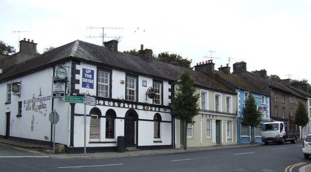
| current | 15:00, 14 May 2016 | | 640 × 354 (58 KB) | C2r (talk | contribs) | '''The Blackwater House, Cappoquin, Co. Waterford''' The sign on the pub "Up the Deise" refers to the local County Waterford identity which is well described in; http://en.wikipedia.org/wiki/County_Waterford and http://www.upthedeise.com/ |
File usage
The following 2 pages use this file: