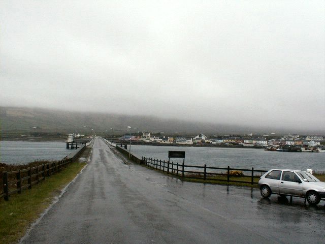
File:The Bridge from Valentia Island to... (C) Gerald England - Geograph - 697763.jpg
Jump to navigation
Jump to search

No higher resolution available.
The_Bridge_from_Valentia_Island_to..._(C)_Gerald_England_-_Geograph_-_697763.jpg (640 × 480 pixels, file size: 40 KB, MIME type: image/jpeg)
| |||||||||||||||||||||||||
|
Galleries | R565 | Skellig Ring | Wild Atlantic Way | County Kerry | Maurice O'Neill Memorial Bridge | Pictures from Geograph | ||
File history
Click on a date/time to view the file as it appeared at that time.
| Date/Time | Thumbnail | Dimensions | User | Comment | |
|---|---|---|---|---|---|
| current | 21:41, 20 February 2015 | | 640 × 480 (40 KB) | Bothar (talk | contribs) | The Bridge from Valentia Island to PortMagee |
File usage
The following 4 pages use this file:
_Gerald_England_-_Geograph_-_697763.jpg&oldid=619104)