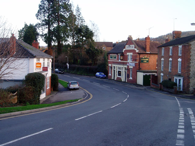
File:The Carpenters Arms, Dursley - Geograph - 316752.jpg
Jump to navigation
Jump to search

No higher resolution available.
The_Carpenters_Arms,_Dursley_-_Geograph_-_316752.jpg (640 × 480 pixels, file size: 104 KB, MIME type: image/jpeg)
| |||||||||||||||||||||||||
|
Galleries | B4066 | Cotswold Scarp Scenic Route | ||
File history
Click on a date/time to view the file as it appeared at that time.
| Date/Time | Thumbnail | Dimensions | User | Comment | |
|---|---|---|---|---|---|
| current | 14:30, 7 March 2010 | | 640 × 480 (104 KB) | Jeni (talk | contribs) | The Carpenters Arms, Dursley |
File usage
The following page uses this file: