File:The Carrickdale Hotel from Church Hill, Jonesborough - Geograph - 3013843.jpg
Jump to navigation
Jump to search

No higher resolution available.
The_Carrickdale_Hotel_from_Church_Hill,_Jonesborough_-_Geograph_-_3013843.jpg (640 × 480 pixels, file size: 80 KB, MIME type: image/jpeg)
| |||||||||||||||||||||||||
|
Galleries | B113 (Northern Ireland) | N1 | Flurrybridge Interchange | ||
File history
Click on a date/time to view the file as it appeared at that time.
| Date/Time | Thumbnail | Dimensions | User | Comment | |
|---|---|---|---|---|---|
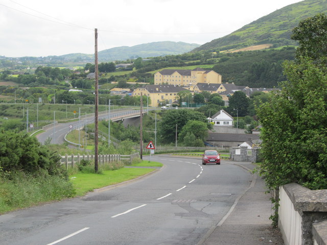
| current | 21:14, 31 January 2017 | | 640 × 480 (80 KB) | Vlad (talk | contribs) | '''The Carrickdale Hotel from Church Hill, Jonesborough''' This is a view across the Co Armagh/Co Louth boundary. This boundary is also that dividing Northern Ireland and the Republic of Ireland. It is an open border. |
File usage
The following 2 pages use this file: