File:The Cwm-y-glo by-pass - Geograph - 401912.jpg
Jump to navigation
Jump to search

No higher resolution available.
The_Cwm-y-glo_by-pass_-_Geograph_-_401912.jpg (640 × 480 pixels, file size: 86 KB, MIME type: image/jpeg)
| |||||||||||||||||||||||||
|
Galleries | A4086 | ||
File history
Click on a date/time to view the file as it appeared at that time.
| Date/Time | Thumbnail | Dimensions | User | Comment | |
|---|---|---|---|---|---|
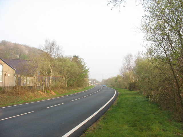
| current | 17:39, 8 March 2010 | | 640 × 480 (86 KB) | Jeni (talk | contribs) | '''The Cwm-y-glo by-pass'''<br/>This by-pass was constructed just prior to the start on the Dinorwig HEP scheme to ease access to Llanberis. |
File usage
There are no pages that use this file.