File:The Dalry Moor Road - Geograph - 5850887.jpg
Jump to navigation
Jump to search

No higher resolution available.
The_Dalry_Moor_Road_-_Geograph_-_5850887.jpg (640 × 480 pixels, file size: 135 KB, MIME type: image/jpeg)
| |||||||||||||||||||||||||
|
Galleries | C56 (North Ayrshire) | A78 | ||
File history
Click on a date/time to view the file as it appeared at that time.
| Date/Time | Thumbnail | Dimensions | User | Comment | |
|---|---|---|---|---|---|
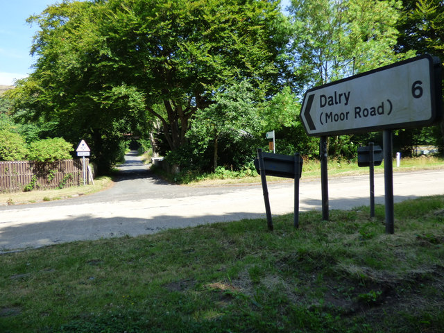
| current | 21:45, 2 April 2021 | | 640 × 480 (135 KB) | Tam nugent (talk | contribs) | The Dalry Moor Road, formally known as Fairlie Moor Road, but known by local cyclists as the Dalry Moor Road. Not for the faint-hearted cyclist. The A78 Irvine Road is in the foreground, taken from the Ayrshire Coastal Path. |
File usage
The following page uses this file: