File:The End of Old Lymington road, Hooper's... (C) Mike Smith - Geograph - 2797502.jpg
Jump to navigation
Jump to search

No higher resolution available.
The_End_of_Old_Lymington_road,_Hooper's..._(C)_Mike_Smith_-_Geograph_-_2797502.jpg (640 × 427 pixels, file size: 102 KB, MIME type: image/jpeg)
| |||||||||||||||||||||||||
|
Galleries | A337 | A3068 | unclassified | Abandoned Road | ||
File history
Click on a date/time to view the file as it appeared at that time.
| Date/Time | Thumbnail | Dimensions | User | Comment | |
|---|---|---|---|---|---|
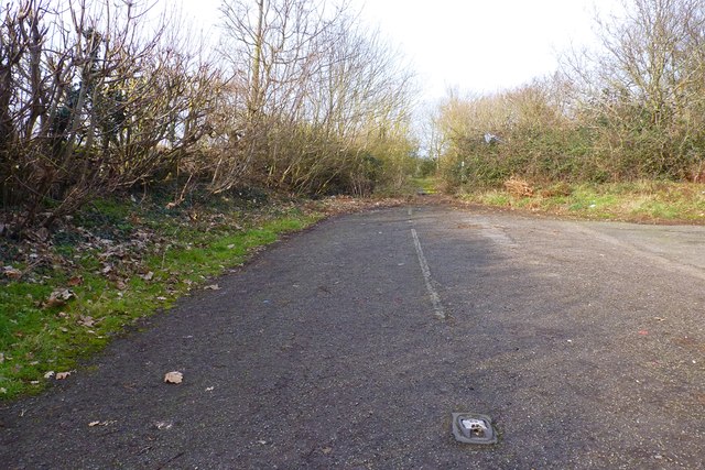
| current | 16:26, 20 July 2014 | | 640 × 427 (102 KB) | Vlad (talk | contribs) | '''The End of Old Lymington road, Hooper's... (C) Mike Smith '''<br/>This was part of the A337 Christchurch-Lymington Road, until it was re-aligned in the 1980s. The old road now disappears into the undergrowth. Note that the original cat's eyes are ... |
File usage
The following 3 pages use this file:
_Mike_Smith_-_Geograph_-_2797502.jpg&oldid=381273)