File:The Glenaan Turnoff for Ballymoney on the A2 - Geograph - 3725090.jpg
Jump to navigation
Jump to search

No higher resolution available.
The_Glenaan_Turnoff_for_Ballymoney_on_the_A2_-_Geograph_-_3725090.jpg (640 × 465 pixels, file size: 57 KB, MIME type: image/jpeg)
| |||||||||||||||||||||||||
|
Galleries | A2 (Northern Ireland) | Causeway Coastal Route | Glenaan Scenic Route | Flag Sign | C81 (Northern Ireland) | ||
File history
Click on a date/time to view the file as it appeared at that time.
| Date/Time | Thumbnail | Dimensions | User | Comment | |
|---|---|---|---|---|---|
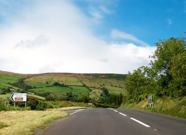
| current | 10:49, 20 March 2017 | | 640 × 465 (57 KB) | Si404 (talk | contribs) | '''The Glenaan Turnoff for Ballymoney on the A2''' The turnoff is located some 2kms north-west of the town of Cushendall. The road is also known as the Glenaan Scenic Route. |
File usage
The following 2 pages use this file: