No higher resolution available.
File history
Click on a date/time to view the file as it appeared at that time.
| Date/Time | Thumbnail | Dimensions | User | Comment |
|---|
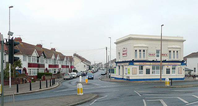
| current | 11:52, 30 October 2009 |  | 640 × 343 (137 KB) | Ajk1982 (talk | contribs) | {{Information |description = The Half Brick and Ham Road, East Worthing (pub has closed now) |day = 31 |month = 12 |year = 2008 |photographer = © Copyright [http://www.geograph.org.uk/profile/12192 Roger Kidd] and licensed for r |
File usage
The following 2 pages use this file:
This file contains additional information, probably added from the digital camera or scanner used to create or digitise it.
If the file has been modified from its original state, some details may not fully reflect the modified file.

,_East_Worthing_-_Geograph_-_1107833.jpg&oldid=82402)