File:The High Road from Donaghadee - Geograph - 223022.jpg
Jump to navigation
Jump to search

No higher resolution available.
The_High_Road_from_Donaghadee_-_Geograph_-_223022.jpg (640 × 426 pixels, file size: 132 KB, MIME type: image/jpeg)
| |||||||||||||||||||||||||
|
Galleries | B21 (Northern Ireland) | ||
File history
Click on a date/time to view the file as it appeared at that time.
| Date/Time | Thumbnail | Dimensions | User | Comment | |
|---|---|---|---|---|---|
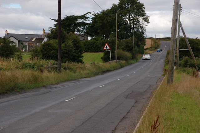
| current | 20:07, 17 January 2017 | | 640 × 426 (132 KB) | Vlad (talk | contribs) | '''The High Road from Donaghadee''' The High Road from Donaghadee to Bangor undulates frequently as it makes its way inland. There are several unclassified roads running off the road. This is the view towards Bangor to where it meets the Kylestone ... |
File usage
The following page uses this file: