File:The King Harry ferry - Geograph - 1597841.jpg
Jump to navigation
Jump to search

No higher resolution available.
The_King_Harry_ferry_-_Geograph_-_1597841.jpg (640 × 482 pixels, file size: 90 KB, MIME type: image/jpeg)
| |||||||||||||||||||||||||
|
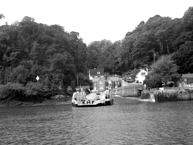
Galleries | B3289 | King Harry Ferry | ||
File history
Click on a date/time to view the file as it appeared at that time.
| Date/Time | Thumbnail | Dimensions | User | Comment | |
|---|---|---|---|---|---|
| current | 23:22, 15 January 2010 | | 640 × 482 (90 KB) | Jeni (talk | contribs) | {{Information |description = The King Harry ferry |day = 02 |month = 06 |year = 1982 |photographer = © Copyright [http://www.geograph.org.uk/profile/796 Dr Neil Clifton] and licensed for reuse under [http://creativecommons.org/li |
File usage
There are no pages that use this file.