File:The Lambeg Road, Lambeg (1) - Geograph - 991305.jpg
Jump to navigation
Jump to search

No higher resolution available.
The_Lambeg_Road,_Lambeg_(1)_-_Geograph_-_991305.jpg (640 × 392 pixels, file size: 114 KB, MIME type: image/jpeg)
| |||||||||||||||||||||||||
|
Galleries | B103 (Northern Ireland) | ||
File history
Click on a date/time to view the file as it appeared at that time.
| Date/Time | Thumbnail | Dimensions | User | Comment | |
|---|---|---|---|---|---|
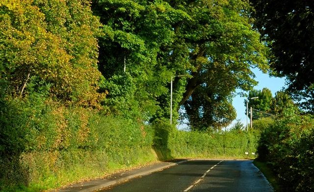
| current | 20:40, 29 January 2017 | | 640 × 392 (114 KB) | Vlad (talk | contribs) | '''The Lambeg Road, Lambeg (1)''' The Lambeg Road is a ???B??? road running from Lambeg to Drumbeg. Once past Lambeg it remains remained rural. The view is towards Drumbeg and Wolfenden???s Bridge. |
File usage
The following 2 pages use this file:
_-_Geograph_-_991305.jpg&oldid=451351)