File:The Lunt.png
Jump to navigation
Jump to search

No higher resolution available.
The_Lunt.png (446 × 412 pixels, file size: 28 KB, MIME type: image/png)
| |||||||||||||||||||||||||
|
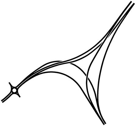
Galleries | A4444 | A463 | The Lunt Junction | Wolverhampton | Black Country Route | Bilston | ||
File history
Click on a date/time to view the file as it appeared at that time.
| Date/Time | Thumbnail | Dimensions | User | Comment | |
|---|---|---|---|---|---|
| current | 11:27, 7 June 2014 | | 446 × 412 (28 KB) | Truvelo (talk | contribs) | Minor improvements |
File usage
The following 2 pages use this file: