File:The M1-M12 near Portadown - Geograph - 350735.jpg
Jump to navigation
Jump to search

No higher resolution available.
The_M1-M12_near_Portadown_-_Geograph_-_350735.jpg (640 × 426 pixels, file size: 123 KB, MIME type: image/jpeg)
| |||||||||||||||||||||||||
|
Galleries | M1 (Northern Ireland) | M12 (Northern Ireland) | T4 (Northern Ireland) | Ballynacor Interchange | Advance Direction Sign | Craigavon | T5 (Northern Ireland) | ||
File history
Click on a date/time to view the file as it appeared at that time.
| Date/Time | Thumbnail | Dimensions | User | Comment | |
|---|---|---|---|---|---|
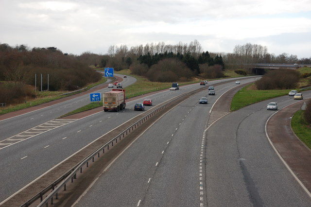
| current | 13:21, 2 August 2010 | | 640 × 426 (123 KB) | Si404 (talk | contribs) | '''The M1-M12 near Portadown'''<br/>This section of the M1, between Lurgan and Ballynacor, near Portadown, opened in 1967. The M12 opened in part in 1970. It was intended to bypass Portadown for traffic heading to Newry and Armagh. In the event that ro |
File usage
The following 5 pages use this file: