File:The M1 at Dromin near Dunleer - Geograph - 451131.jpg
Jump to navigation
Jump to search

No higher resolution available.
The_M1_at_Dromin_near_Dunleer_-_Geograph_-_451131.jpg (640 × 427 pixels, file size: 85 KB, MIME type: image/jpeg)
| |||||||||||||||||||||||||
|
Galleries | M1 (Republic of Ireland) | N33 | Charleville Interchange | County Louth | ||
File history
Click on a date/time to view the file as it appeared at that time.
| Date/Time | Thumbnail | Dimensions | User | Comment | |
|---|---|---|---|---|---|
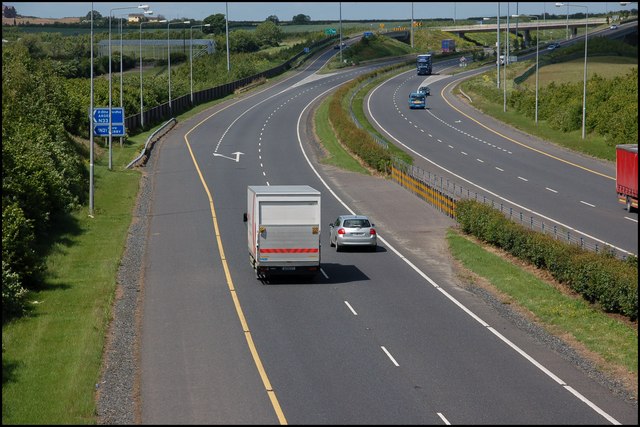
| current | 07:57, 18 September 2009 | | 640 × 427 (85 KB) | Abeaton (talk | contribs) | {{Information |description = The M1 at Dromin near Dunleer |day = 31 |month = 05 |year = 2007 |photographer = © Copyright [http://www.geograph.org.uk/profile/5835 Aubrey Dale] and licensed for reuse under [http://creativecommons. |
File usage
The following 2 pages use this file: