File:The M5 at Whitehouse - Geograph - 1814235.jpg
Jump to navigation
Jump to search

No higher resolution available.
The_M5_at_Whitehouse_-_Geograph_-_1814235.jpg (640 × 385 pixels, file size: 105 KB, MIME type: image/jpeg)
| |||||||||||||||||||||||||
|
Galleries | M5 (Northern Ireland) | T21 (Northern Ireland) | ||
File history
Click on a date/time to view the file as it appeared at that time.
| Date/Time | Thumbnail | Dimensions | User | Comment | |
|---|---|---|---|---|---|
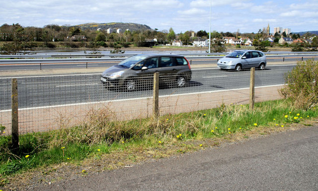
| current | 13:51, 16 June 2010 | | 640 × 385 (105 KB) | Si404 (talk | contribs) | '''The M5 at Whitehouse'''<br/>The coastal path from Hazelbank <a href="http://www.geograph.org.uk/photo/1814079">J3580 : The Loughshore at Whitehouse</a> runs very close to the M5 <a href="http://www.geograph.org.uk/photo/1754964">J3580 : The M5 near Rus |
File usage
The following 2 pages use this file: