File:The Mayne View (C) terry joyce - Geograph - 2780218.jpg
Jump to navigation
Jump to search

No higher resolution available.
The_Mayne_View_(C)_terry_joyce_-_Geograph_-_2780218.jpg (640 × 480 pixels, file size: 66 KB, MIME type: image/jpeg)
| |||||||||||||||||||||||||
File history
Click on a date/time to view the file as it appeared at that time.
| Date/Time | Thumbnail | Dimensions | User | Comment | |
|---|---|---|---|---|---|
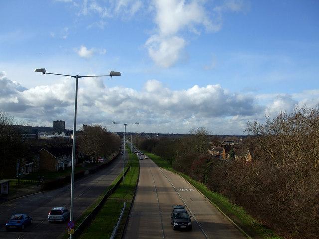
| current | 20:32, 3 November 2013 | | 640 × 480 (66 KB) | Vlad (talk | contribs) | '''The Mayne View (C) terry joyce '''<br/>Taken from the footbridge that crosses this road the A1321 Broadmayne in Basildon, looking towards the Town Centre.<br /> Broadmayne is approximately 1.75 miles and links four of the other 'Maynes', Southmayne... |
File usage
The following 4 pages use this file:
_terry_joyce_-_Geograph_-_2780218.jpg&oldid=357678)