File:The Mill Inn. Springwell - Geograph - 6429.jpg
Jump to navigation
Jump to search

No higher resolution available.
The_Mill_Inn._Springwell_-_Geograph_-_6429.jpg (640 × 480 pixels, file size: 64 KB, MIME type: image/jpeg)
| |||||||||||||||||||||||||
|
Galleries | B1288 | Birtley Interchange | ||
File history
Click on a date/time to view the file as it appeared at that time.
| Date/Time | Thumbnail | Dimensions | User | Comment | |
|---|---|---|---|---|---|
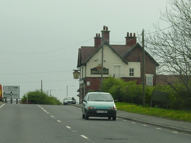
| current | 11:48, 23 November 2017 | | 640 × 480 (64 KB) | Gc a690 (talk | contribs) | The B1288 passes the Mill House pub as it approaches Birtley Interchange from the north-east |
File usage
The following 3 pages use this file: