File:The N72, looking West - Geograph - 1309353.jpg
Jump to navigation
Jump to search

No higher resolution available.
The_N72,_looking_West_-_Geograph_-_1309353.jpg (640 × 480 pixels, file size: 72 KB, MIME type: image/jpeg)
| |||||||||||||||||||||||||
|
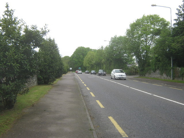
Galleries | N72 | Ring of Kerry | Killarney | ||
File history
Click on a date/time to view the file as it appeared at that time.
| Date/Time | Thumbnail | Dimensions | User | Comment | |
|---|---|---|---|---|---|
| current | 18:54, 11 February 2011 | | 640 × 480 (72 KB) | Si404 (talk | contribs) | '''The N72, looking West'''<br/>Connecting Killarney with Killorglin. |
File usage
The following page uses this file: