File:The Newtownards - Comber road - Geograph - 472888.jpg
Jump to navigation
Jump to search

No higher resolution available.
The_Newtownards_-_Comber_road_-_Geograph_-_472888.jpg (640 × 427 pixels, file size: 100 KB, MIME type: image/jpeg)
| |||||||||||||||||||||||||
|
Galleries | A21 (Northern Ireland) | T12 (Northern Ireland) | ||
File history
Click on a date/time to view the file as it appeared at that time.
| Date/Time | Thumbnail | Dimensions | User | Comment | |
|---|---|---|---|---|---|
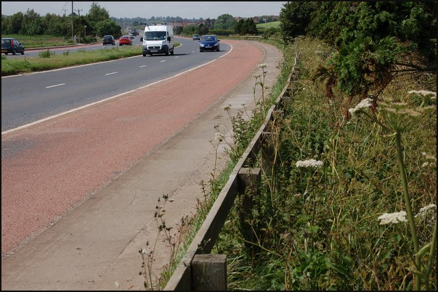
| current | 13:27, 4 May 2010 | | 640 × 427 (100 KB) | Si404 (talk | contribs) | '''The Newtownards - Comber road'''<br/><br /> Much of this square is flat farmland with one minor public road and this short section of the Newtownards � Comber road. The view is towards Comber.<br /> |
File usage
The following 2 pages use this file: