File:The Newtownards Road, Cottown - Geograph - 1695938.jpg
Jump to navigation
Jump to search

No higher resolution available.
The_Newtownards_Road,_Cottown_-_Geograph_-_1695938.jpg (640 × 370 pixels, file size: 50 KB, MIME type: image/jpeg)
| |||||||||||||||||||||||||
|
Galleries | A48 (Northern Ireland) | ||
File history
Click on a date/time to view the file as it appeared at that time.
| Date/Time | Thumbnail | Dimensions | User | Comment | |
|---|---|---|---|---|---|
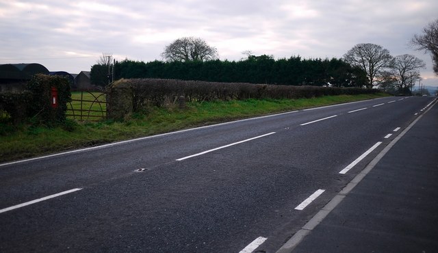
| current | 11:32, 16 June 2010 | | 640 × 370 (50 KB) | Si404 (talk | contribs) | '''The Newtownards Road, Cottown'''<br/>The main Donaghdee to Newtownards Road at Cottown near Six Road Ends. You may just be able to make out a milepost <span class="nowrap"><a title="http://www.geograph.org.uk/search.php?i=10568708" rel="nofollow" href= |
File usage
The following 3 pages use this file: