File:The Old Bridge, Pontrhydfendigaid (C) Stephen Elwyn RODDICK - Geograph - 819683.jpg
Jump to navigation
Jump to search

No higher resolution available.
The_Old_Bridge,_Pontrhydfendigaid_(C)_Stephen_Elwyn_RODDICK_-_Geograph_-_819683.jpg (640 × 480 pixels, file size: 341 KB, MIME type: image/jpeg)
| |||||||||||||||||||||||||
|
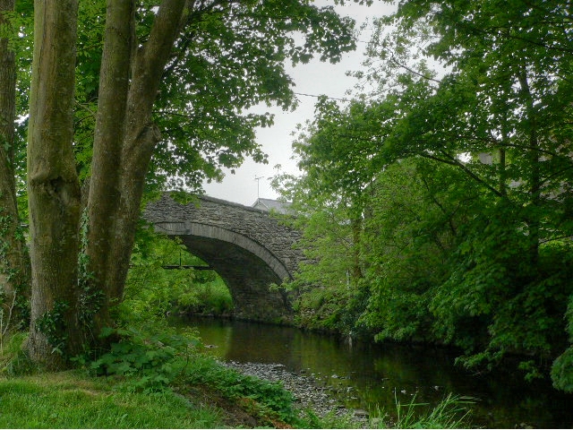
Galleries | B4340 | Pontrhydfendigaid Bridge | ||
File history
Click on a date/time to view the file as it appeared at that time.
| Date/Time | Thumbnail | Dimensions | User | Comment | |
|---|---|---|---|---|---|
| current | 07:55, 2 April 2014 | | 640 × 480 (341 KB) | Rileyrob (talk | contribs) | '''The Old Bridge, Pontrhydfendigaid (C) Stephen Elwyn RODDICK '''<br/>A view of the Old Bridge from the Picnic area at Pontrhydfendigaid. |
File usage
The following 2 pages use this file:
_Stephen_Elwyn_RODDICK_-_Geograph_-_819683.jpg&oldid=369645)