File:The Old Forge Garage, Layer de la Haye - Geograph - 4173635.jpg
Jump to navigation
Jump to search

No higher resolution available.
The_Old_Forge_Garage,_Layer_de_la_Haye_-_Geograph_-_4173635.jpg (640 × 480 pixels, file size: 54 KB, MIME type: image/jpeg)
| |||||||||||||||||||||||||
|
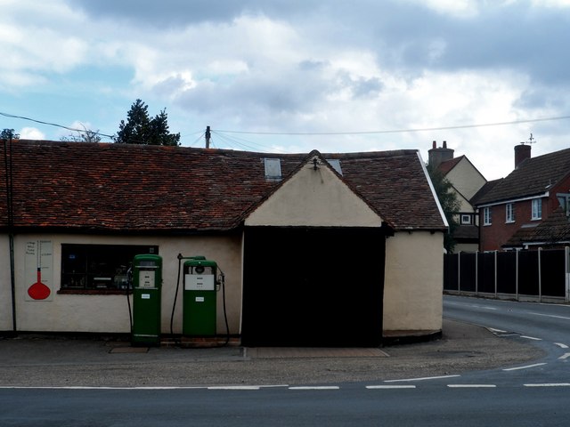
Galleries | B1206 | Petrol station | ||
File history
Click on a date/time to view the file as it appeared at that time.
| Date/Time | Thumbnail | Dimensions | User | Comment | |
|---|---|---|---|---|---|
| current | 06:58, 10 May 2016 | | 640 × 480 (54 KB) | C2r (talk | contribs) | '''The Old Forge Garage, Layer de la Haye''' Originally an C18 forge. Shown on the village sign. See http://www.geograph.org.uk/photo/4173614 |
File usage
The following page uses this file: