File:The Old Maypole, Water End - Geograph - 1334133.jpg
Jump to navigation
Jump to search

No higher resolution available.
The_Old_Maypole,_Water_End_-_Geograph_-_1334133.jpg (640 × 480 pixels, file size: 80 KB, MIME type: image/jpeg)
| |||||||||||||||||||||||||
|
Galleries | C59 (Hertfordshire) | Hertfordshire | ||
File history
Click on a date/time to view the file as it appeared at that time.
| Date/Time | Thumbnail | Dimensions | User | Comment | |
|---|---|---|---|---|---|
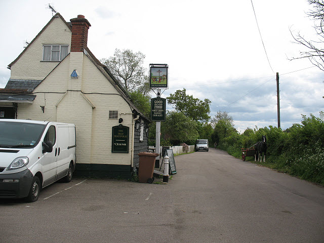
| current | 08:21, 20 March 2017 | | 640 × 480 (80 KB) | C2r (talk | contribs) | '''The Old Maypole, Water End''' Note the horse and cart stood opposite the pub (but well camouflaged against the hedge). |
File usage
The following 2 pages use this file: