File:The Old Toll house restaurant, Willenhall - Geograph - 1580315.jpg
Jump to navigation
Jump to search

No higher resolution available.
The_Old_Toll_house_restaurant,_Willenhall_-_Geograph_-_1580315.jpg (640 × 480 pixels, file size: 76 KB, MIME type: image/jpeg)
| |||||||||||||||||||||||||
|
Galleries | B4464 | Willenhall | Wolverhampton | Toll house | ||
File history
Click on a date/time to view the file as it appeared at that time.
| Date/Time | Thumbnail | Dimensions | User | Comment | |
|---|---|---|---|---|---|
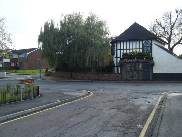
| current | 11:11, 26 January 2010 | | 640 × 480 (76 KB) | Steven (talk | contribs) | {{Information |description = A former turnpike toll house on B4464, Willenhall, Staffordshire. It is now used as a restuarant |day = 07 |month = 11 |year = 2009 |photographer = © Copyright [http:// |
File usage
The following 3 pages use this file: