File:The Plough Inn, Durrington - Geograph - 1054266.jpg
Jump to navigation
Jump to search

No higher resolution available.
The_Plough_Inn,_Durrington_-_Geograph_-_1054266.jpg (640 × 480 pixels, file size: 78 KB, MIME type: image/jpeg)
| |||||||||||||||||||||||||
|
Galleries | B3085 | ||
File history
Click on a date/time to view the file as it appeared at that time.
| Date/Time | Thumbnail | Dimensions | User | Comment | |
|---|---|---|---|---|---|
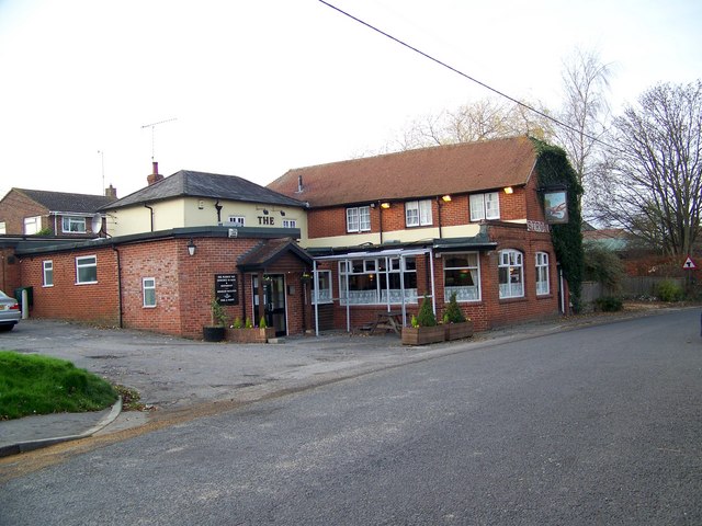
| current | 20:09, 14 March 2017 | | 640 × 480 (78 KB) | Vlad (talk | contribs) | '''The Plough Inn, Durrington''' On Bulford Road. |
File usage
The following 2 pages use this file: