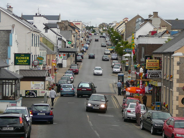
File:The R259 through Dunglow - Geograph - 1052746.jpg
Jump to navigation
Jump to search

No higher resolution available.
The_R259_through_Dunglow_-_Geograph_-_1052746.jpg (640 × 480 pixels, file size: 96 KB, MIME type: image/jpeg)
| |||||||||||||||||||||||||
|
Galleries | R259 | Wild Atlantic Way | An Clochán Liath | ||
File history
Click on a date/time to view the file as it appeared at that time.
| Date/Time | Thumbnail | Dimensions | User | Comment | |
|---|---|---|---|---|---|
| current | 21:34, 16 April 2015 | | 640 × 480 (96 KB) | Viator (talk | contribs) | The R259 through An Cloch�n Liath (''Dunglow'') |
File usage
The following 3 pages use this file: