File:The R352 approaching Whitegate, Co. Clare - Geograph - 3475873.jpg
Jump to navigation
Jump to search

No higher resolution available.
The_R352_approaching_Whitegate,_Co._Clare_-_Geograph_-_3475873.jpg (640 × 404 pixels, file size: 77 KB, MIME type: image/jpeg)
| |||||||||||||||||||||||||
|
Galleries | R352 | ||
File history
Click on a date/time to view the file as it appeared at that time.
| Date/Time | Thumbnail | Dimensions | User | Comment | |
|---|---|---|---|---|---|
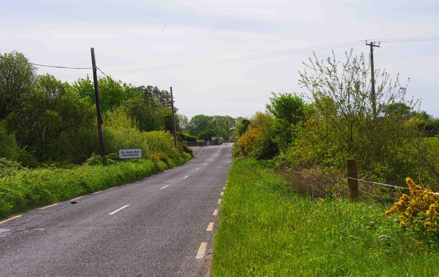
| current | 06:57, 11 August 2013 | | 640 × 404 (77 KB) | Viator (talk | contribs) | The R352 approaching Whitegate, Co. Clare, on its way to Scarriff and Ennis. |
File usage
The following 2 pages use this file: