File:The Railway PH, Penkridge (C) Jonathan Billinger - Geograph - 1574859.jpg
Jump to navigation
Jump to search

No higher resolution available.
The_Railway_PH,_Penkridge_(C)_Jonathan_Billinger_-_Geograph_-_1574859.jpg (640 × 482 pixels, file size: 234 KB, MIME type: image/jpeg)
| |||||||||||||||||||||||||
|
Galleries | A449 | T49 (Britain) | ||
File history
Click on a date/time to view the file as it appeared at that time.
| Date/Time | Thumbnail | Dimensions | User | Comment | |
|---|---|---|---|---|---|
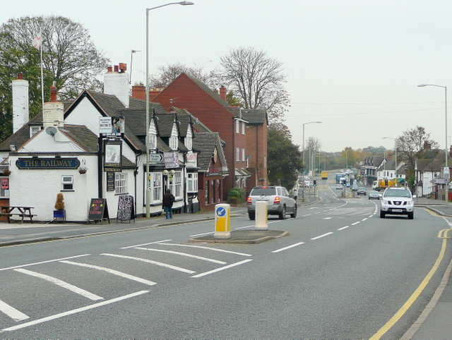
| current | 16:12, 8 February 2014 | | 640 × 482 (234 KB) | Vlad (talk | contribs) | '''The Railway PH, Penkridge (C) Jonathan Billinger '''<br/>Looking north on the A449 towards the village centre. |
File usage
The following 3 pages use this file:
_Jonathan_Billinger_-_Geograph_-_1574859.jpg&oldid=620513)