File:The Red Smiddy Roundabout - Geograph - 88169.jpg
Jump to navigation
Jump to search

No higher resolution available.
The_Red_Smiddy_Roundabout_-_Geograph_-_88169.jpg (640 × 480 pixels, file size: 80 KB, MIME type: image/jpeg)
| |||||||||||||||||||||||||
|
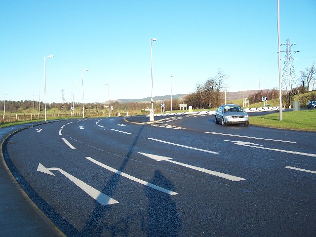
Galleries | A8 | A726 | Red Smiddy Roundabout | ||
File history
Click on a date/time to view the file as it appeared at that time.
| Date/Time | Thumbnail | Dimensions | User | Comment | |
|---|---|---|---|---|---|
| current | 21:37, 27 March 2021 | | 640 × 480 (80 KB) | Tam nugent (talk | contribs) | The Old Red Smiddy building stood on the left. It was demolished to make way for construction of this, the improved Red Smiddy Roundabout. |
File usage
The following page uses this file: