File:The Shannon, Tarbert - Geograph - 293686.jpg
Jump to navigation
Jump to search

No higher resolution available.
The_Shannon,_Tarbert_-_Geograph_-_293686.jpg (640 × 480 pixels, file size: 51 KB, MIME type: image/jpeg)
| |||||||||||||||||||||||||
|
Galleries | N67 | Wild Atlantic Way | Tarbert - Killimer ferry | ||
File history
Click on a date/time to view the file as it appeared at that time.
| Date/Time | Thumbnail | Dimensions | User | Comment | |
|---|---|---|---|---|---|
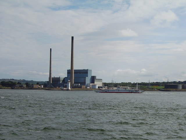
| current | 15:53, 23 May 2013 | | 640 × 480 (51 KB) | Ritchie333 (talk | contribs) | View across the estuary towards the lighthouse and power station at Tarbert Co. Kerry. Another of the ferries is heading south, this being a popular way of avoiding congested Limerick, the lowest bridging point. The ferries are very large and frequent... |
File usage
The following 2 pages use this file: