File:The Shore Road near Greenisland (1) - Geograph - 733485.jpg
Jump to navigation
Jump to search

No higher resolution available.
The_Shore_Road_near_Greenisland_(1)_-_Geograph_-_733485.jpg (640 × 370 pixels, file size: 99 KB, MIME type: image/jpeg)
| |||||||||||||||||||||||||
|
Galleries | A2 (Northern Ireland) | T21 (Northern Ireland) | Causeway Coastal Route | ||
File history
Click on a date/time to view the file as it appeared at that time.
| Date/Time | Thumbnail | Dimensions | User | Comment | |
|---|---|---|---|---|---|
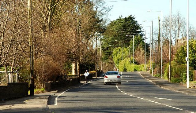
| current | 12:08, 16 June 2010 | | 640 × 370 (99 KB) | Si404 (talk | contribs) | '''The Shore Road near Greenisland (1)'''<br/>See <a href="http://www.geograph.org.uk/photo/733462">J3784 : The Shore Road near Jordanstown</a>. The road, in this square, looking towards Belfast. This section is expected to be bypassed by the new road. |
File usage
The following page uses this file:
_-_Geograph_-_733485.jpg&oldid=422580)