File:The Slievenaboley Road commencing its descent southwards towards Ballyward - Geograph - 4273229.jpg
Jump to navigation
Jump to search

No higher resolution available.
The_Slievenaboley_Road_commencing_its_descent_southwards_towards_Ballyward_-_Geograph_-_4273229.jpg (640 × 480 pixels, file size: 74 KB, MIME type: image/jpeg)
| |||||||||||||||||||||||||
|
Galleries | Slieve Croob Scenic Loop | C323 (Northern Ireland) | County Down | ||
File history
Click on a date/time to view the file as it appeared at that time.
| Date/Time | Thumbnail | Dimensions | User | Comment | |
|---|---|---|---|---|---|
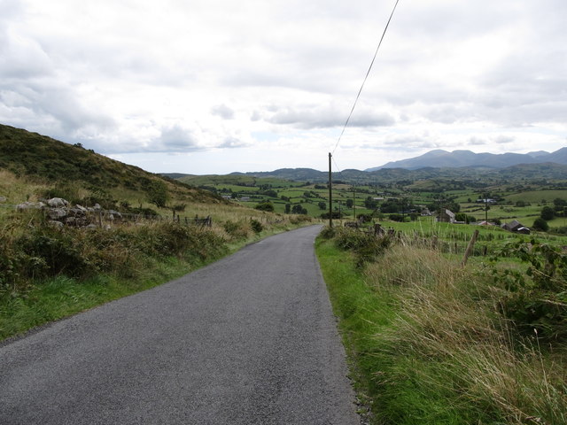
| current | 10:09, 20 March 2017 | | 640 × 480 (74 KB) | Si404 (talk | contribs) | '''The Slievenaboley Road commencing its descent southwards towards Ballyward''' The High Mournes can be seen in the background. |
File usage
The following 4 pages use this file: