File:The Strangford Lough ferry (1) - Geograph - 253892.jpg
Jump to navigation
Jump to search

No higher resolution available.
The_Strangford_Lough_ferry_(1)_-_Geograph_-_253892.jpg (640 × 426 pixels, file size: 142 KB, MIME type: image/jpeg)
| |||||||||||||||||||||||||
|
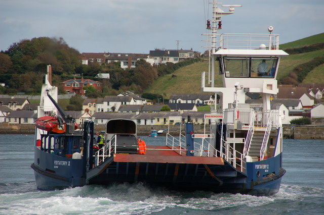
Galleries | A2 (Northern Ireland) | Mourne Coastal Route | St Patricks Trail | Strangford - Portaferry Ferry | ||
File history
Click on a date/time to view the file as it appeared at that time.
| Date/Time | Thumbnail | Dimensions | User | Comment | |
|---|---|---|---|---|---|
| current | 16:08, 7 July 2011 | | 640 × 426 (142 KB) | Si404 (talk | contribs) | The Strangford Lough ferry |
File usage
The following 2 pages use this file:
_-_Geograph_-_253892.jpg&oldid=422595)