File:The Street, Hatfield Peverel, Essex (C) Peter Stack - Geograph - 2825721.jpg
Jump to navigation
Jump to search

No higher resolution available.
The_Street,_Hatfield_Peverel,_Essex_(C)_Peter_Stack_-_Geograph_-_2825721.jpg (640 × 420 pixels, file size: 77 KB, MIME type: image/jpeg)
| |||||||||||||||||||||||||
|
Galleries | B1137 | ||
File history
Click on a date/time to view the file as it appeared at that time.
| Date/Time | Thumbnail | Dimensions | User | Comment | |
|---|---|---|---|---|---|
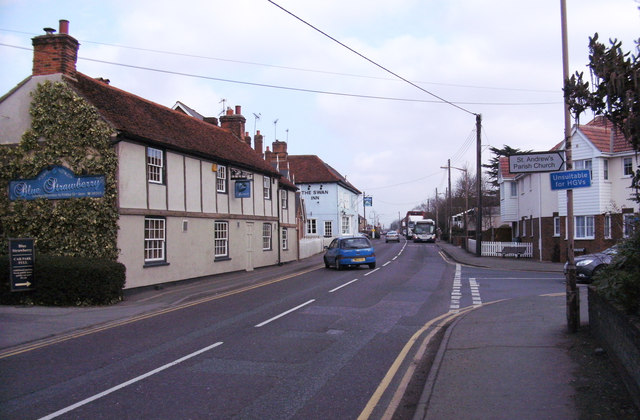
| current | 18:29, 19 May 2015 | | 640 × 420 (77 KB) | Vlad (talk | contribs) | '''The Street, Hatfield Peverel, Essex (C) Peter Stack '''<br/>The Blue Strawberry restaurant and The Swan Inn are on the left of the photo. |
File usage
The following page uses this file:
_Peter_Stack_-_Geograph_-_2825721.jpg&oldid=398131)