File:The Sydenham bypass, Belfast - Geograph - 593297.jpg
Jump to navigation
Jump to search

No higher resolution available.
The_Sydenham_bypass,_Belfast_-_Geograph_-_593297.jpg (640 × 427 pixels, file size: 93 KB, MIME type: image/jpeg)
| |||||||||||||||||||||||||
|
Galleries | A2 (Northern Ireland) | T1 (Northern Ireland) | Mourne Coastal Route | Belfast | ||
File history
Click on a date/time to view the file as it appeared at that time.
| Date/Time | Thumbnail | Dimensions | User | Comment | |
|---|---|---|---|---|---|
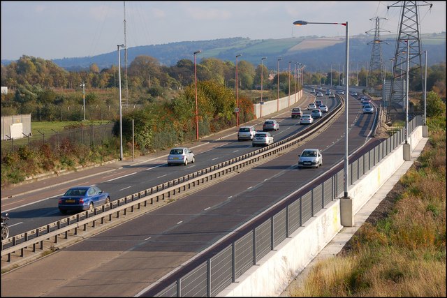
| current | 12:25, 4 May 2010 | | 640 × 427 (93 KB) | Si404 (talk | contribs) | '''The Sydenham bypass, Belfast'''<br/>The Sydenham bypass (part of the Belfast � Bangor road), from the Dee Street flyover <a href="http://www.geograph.org.uk/photo/593283">J3674 : The Dee Street flyover, Belfast</a>, looking towards Bangor. |
File usage
The following page uses this file: