File:The Templepatrick Road, Ballynure (1979) - Geograph - 2204529.jpg
Jump to navigation
Jump to search

No higher resolution available.
The_Templepatrick_Road,_Ballynure_(1979)_-_Geograph_-_2204529.jpg (640 × 387 pixels, file size: 85 KB, MIME type: image/jpeg)
| |||||||||||||||||||||||||
|
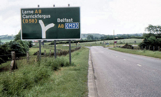
Galleries | A57 (Northern Ireland) | Advance Direction Sign | TOTSO | ||
File history
Click on a date/time to view the file as it appeared at that time.
| Date/Time | Thumbnail | Dimensions | User | Comment | |
|---|---|---|---|---|---|
| current | 22:24, 11 May 2013 | | 640 × 387 (85 KB) | Si404 (talk | contribs) | The Templepatrick Road, Ballynure (1979) |
File usage
The following 3 pages use this file:
_-_Geograph_-_2204529.jpg&oldid=337508)