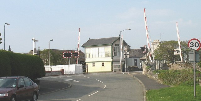
File:The Valley Level Crossing (C) Eric Jones - Geograph - 818237.jpg
Jump to navigation
Jump to search

No higher resolution available.
The_Valley_Level_Crossing_(C)_Eric_Jones_-_Geograph_-_818237.jpg (640 × 323 pixels, file size: 41 KB, MIME type: image/jpeg)
| |||||||||||||||||||||||||
|
Galleries | B4545 | Level Crossing | ||
File history
Click on a date/time to view the file as it appeared at that time.
| Date/Time | Thumbnail | Dimensions | User | Comment | |
|---|---|---|---|---|---|
| current | 06:37, 23 October 2013 | | 640 × 323 (41 KB) | Glen (talk | contribs) | The Valley Level Crossing (C) Eric Jones |
File usage
The following 2 pages use this file:
_Eric_Jones_-_Geograph_-_818237.jpg&oldid=355676)