File:The West Meon Hut - Geograph - 3248285.jpg
Jump to navigation
Jump to search

No higher resolution available.
The_West_Meon_Hut_-_Geograph_-_3248285.jpg (640 × 427 pixels, file size: 56 KB, MIME type: image/jpeg)
| |||||||||||||||||||||||||
|
Galleries | A272 | A32 | West Meon Hut | ||
File history
Click on a date/time to view the file as it appeared at that time.
| Date/Time | Thumbnail | Dimensions | User | Comment | |
|---|---|---|---|---|---|
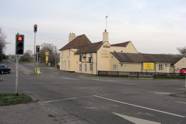
| current | 18:18, 18 February 2017 | | 640 × 427 (56 KB) | A39 chris (talk | contribs) | '''The West Meon Hut''' The pub's web site asserts that the building "dates back almost 300 years". One thing's for certain, the traffic lights at this busy A32/A272 junction would not have existed then. |
File usage
The following page uses this file: