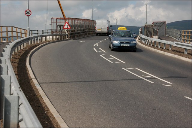
Work started in 2006 to upgrade the two at-grade junctions on the Westlink (linking the M1 and M2). The busiest section carried 68,000 vehicles daily in 2006. An extra lane is being added to the M1, in each direction, between the Westlink and Stockman�s Lane. The scheme is due for completion in 2009. The roundabout at the Grosvenor Road is being replaced by an underpass while keeping both roads open for traffic. This is the temporary bridge carrying the Grosvenor Road (looking outwards) across the roadworks.
'''The Westlink, Belfast (1)'''<br/><br />
Work started in 2006 to upgrade the two at-grade junctions on the Westlink (linking the M1 and M2). The busiest section carried 68,000 vehicles daily in 2006. An extra lane is being added to the M1, in each di

_-_Geograph_-_498780.jpg&oldid=171322)