File:The Westlink, Belfast (14) - Geograph - 716013.jpg
Jump to navigation
Jump to search

No higher resolution available.
The_Westlink,_Belfast_(14)_-_Geograph_-_716013.jpg (640 × 390 pixels, file size: 79 KB, MIME type: image/jpeg)
| |||||||||||||||||||||||||
|
Galleries | A12 (Northern Ireland) | B38 (Northern Ireland) | Belfast | ||
File history
Click on a date/time to view the file as it appeared at that time.
| Date/Time | Thumbnail | Dimensions | User | Comment | |
|---|---|---|---|---|---|
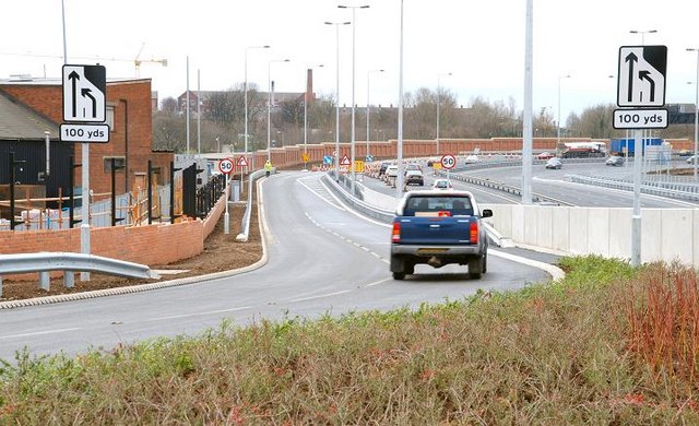
| current | 11:03, 4 May 2010 | | 640 × 390 (79 KB) | Si404 (talk | contribs) | '''The Westlink, Belfast (14)'''<br/>See <a href="http://www.geograph.org.uk/photo/677367">J3373 : The Westlink, Belfast (13)</a>. After what seemed like eternal road construction the road and underpass are now open. This is the southbound on-slip. Par |
File usage
There are no pages that use this file.
_-_Geograph_-_716013.jpg&oldid=171334)