File:The Westlink, Belfast (3) - Geograph - 1576504.jpg
Jump to navigation
Jump to search

No higher resolution available.
The_Westlink,_Belfast_(3)_-_Geograph_-_1576504.jpg (640 × 386 pixels, file size: 92 KB, MIME type: image/jpeg)
| |||||||||||||||||||||||||
|
Galleries | A12 (Northern Ireland) | T3 (Northern Ireland) | E01 | Belfast | E18 | ||
File history
Click on a date/time to view the file as it appeared at that time.
| Date/Time | Thumbnail | Dimensions | User | Comment | |
|---|---|---|---|---|---|
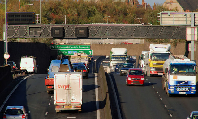
| current | 11:00, 4 May 2010 | | 640 × 386 (92 KB) | Si404 (talk | contribs) | '''The Westlink, Belfast (3)'''<br/>See <a href="http://www.geograph.org.uk/photo/1450533">J3374 : The Westlink, Belfast</a>. The view towards the M2, from the flyover at Divis Street. Continue to <a href="http://www.geograph.org.uk/photo/1582779">J3374 |
File usage
There are no pages that use this file.
_-_Geograph_-_1576504.jpg&oldid=338834)