File:The Westlink, Belfast (9) - Geograph - 1614321.jpg
Jump to navigation
Jump to search

No higher resolution available.
The_Westlink,_Belfast_(9)_-_Geograph_-_1614321.jpg (640 × 418 pixels, file size: 77 KB, MIME type: image/jpeg)
| |||||||||||||||||||||||||
|
Galleries | A12 (Northern Ireland) | A501 (Northern Ireland) | Belfast | ||
File history
Click on a date/time to view the file as it appeared at that time.
| Date/Time | Thumbnail | Dimensions | User | Comment | |
|---|---|---|---|---|---|
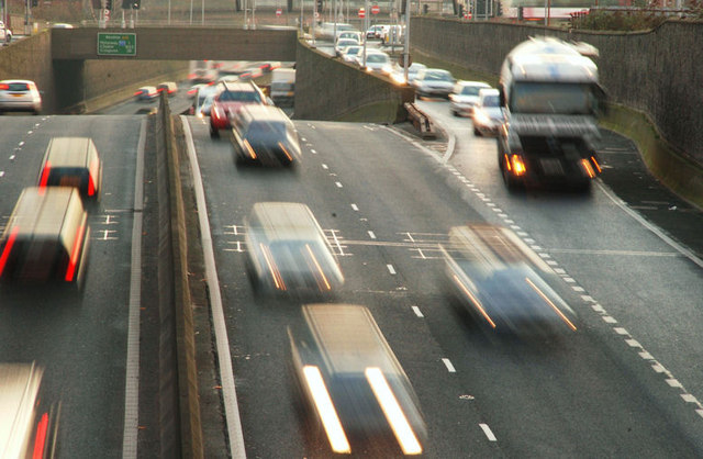
| current | 11:59, 4 May 2010 | | 640 × 418 (77 KB) | Si404 (talk | contribs) | '''The Westlink, Belfast (9)'''<br/>See <a href="http://www.geograph.org.uk/photo/1587230">J3273 : The Westlink, Belfast (8)</a>. At 15.53, as the winter solstice approaches, the light was fading over the Westlink. The view is from the Peter�s Hill fly |
File usage
The following 3 pages use this file:
_-_Geograph_-_1614321.jpg&oldid=336561)