File:The Yellow Road with the access gate to Carnadranna Hill - Geograph - 2598022.jpg
Jump to navigation
Jump to search

No higher resolution available.
The_Yellow_Road_with_the_access_gate_to_Carnadranna_Hill_-_Geograph_-_2598022.jpg (640 × 470 pixels, file size: 56 KB, MIME type: image/jpeg)
| |||||||||||||||||||||||||
|
Galleries | Roosley Scenic Loop | ||
File history
Click on a date/time to view the file as it appeared at that time.
| Date/Time | Thumbnail | Dimensions | User | Comment | |
|---|---|---|---|---|---|
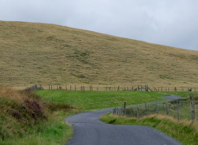
| current | 10:24, 20 March 2017 | | 640 × 470 (56 KB) | Si404 (talk | contribs) | '''The Yellow Road with the access gate to Carnadranna Hill''' The land here belongs to the Carmeen Estates which provides access to walkers to the cairn and hill top. |
File usage
The following page uses this file: