File:The bridge over the Camel at Wadebridge - Geograph - 2870474.jpg
Jump to navigation
Jump to search

No higher resolution available.
The_bridge_over_the_Camel_at_Wadebridge_-_Geograph_-_2870474.jpg (640 × 480 pixels, file size: 53 KB, MIME type: image/jpeg)
| |||||||||||||||||||||||||
|
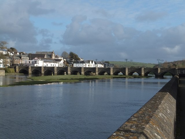
Galleries | A39 | Old Bridge (Wadebridge) | ||
File history
Click on a date/time to view the file as it appeared at that time.
| Date/Time | Thumbnail | Dimensions | User | Comment | |
|---|---|---|---|---|---|
| current | 15:27, 9 April 2012 | | 640 × 480 (53 KB) | Rileyrob (talk | contribs) | The bridge over the Camel at Wadebridge |
File usage
The following 3 pages use this file: