File:The edge of Caerleon Bridge and the Usk - Geograph - 1592208.jpg
Jump to navigation
Jump to search

No higher resolution available.
The_edge_of_Caerleon_Bridge_and_the_Usk_-_Geograph_-_1592208.jpg (640 × 410 pixels, file size: 80 KB, MIME type: image/jpeg)
| |||||||||||||||||||||||||
|
Galleries | B4236 | Caerleon Bridge | ||
File history
Click on a date/time to view the file as it appeared at that time.
| Date/Time | Thumbnail | Dimensions | User | Comment | |
|---|---|---|---|---|---|
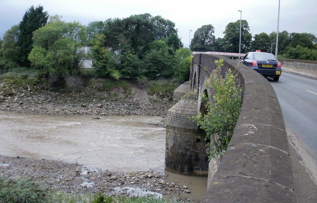
| current | 13:00, 13 August 2010 | | 640 × 410 (80 KB) | Bob@romiley1 (talk | contribs) | '''The edge of Caerleon Bridge and the Usk'''<br/>The River Usk viewed from the western (downstream) edge of Caerleon Bridge. The bridge is too narrow for pavements. That's not a pavement on the right side of the bridge, but a narrow sloping area between |
File usage
The following 3 pages use this file: