File:The end of the road from Hambleton - Geograph - 2357954.jpg
Jump to navigation
Jump to search

No higher resolution available.
The_end_of_the_road_from_Hambleton_-_Geograph_-_2357954.jpg (640 × 480 pixels, file size: 91 KB, MIME type: image/jpeg)
| |||||||||||||||||||||||||
|
Galleries | unclassified | Rutland | ||
File history
Click on a date/time to view the file as it appeared at that time.
| Date/Time | Thumbnail | Dimensions | User | Comment | |
|---|---|---|---|---|---|
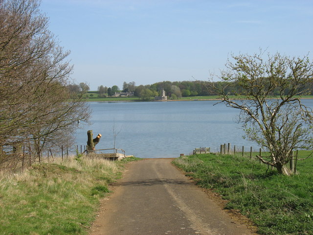
| current | 19:12, 18 April 2017 | | 640 × 480 (91 KB) | Vlad (talk | contribs) | '''The end of the road from Hambleton''' The road to Edith Weston was flooded when Rutland Water reservoir was created. Normanton Church is seen on the far shore. |
File usage
The following 3 pages use this file: