File:The former N20 in Limerick - Geograph - 2757145.jpg
Jump to navigation
Jump to search

No higher resolution available.
The_former_N20_in_Limerick_-_Geograph_-_2757145.jpg (640 × 427 pixels, file size: 81 KB, MIME type: image/jpeg)
| |||||||||||||||||||||||||
|
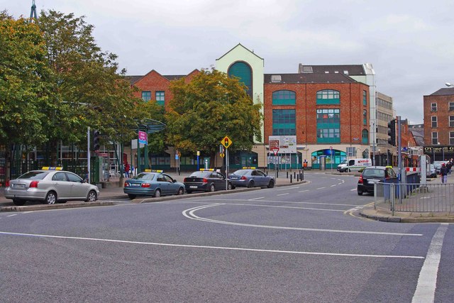
Galleries | R526 | ||
File history
Click on a date/time to view the file as it appeared at that time.
| Date/Time | Thumbnail | Dimensions | User | Comment | |
|---|---|---|---|---|---|
| current | 20:34, 13 June 2014 | | 640 × 427 (81 KB) | Viator (talk | contribs) | The R526 Honan's Quay in Limerick (formerly part of the N20) |
File usage
The following 2 pages use this file: