File:The hamlet of Mill End, Herts. - Geograph - 261607.jpg
Jump to navigation
Jump to search

No higher resolution available.
The_hamlet_of_Mill_End,_Herts._-_Geograph_-_261607.jpg (640 × 480 pixels, file size: 96 KB, MIME type: image/jpeg)
| |||||||||||||||||||||||||
|
Galleries | C108 (Hertfordshire) | Hertfordshire | ||
File history
Click on a date/time to view the file as it appeared at that time.
| Date/Time | Thumbnail | Dimensions | User | Comment | |
|---|---|---|---|---|---|
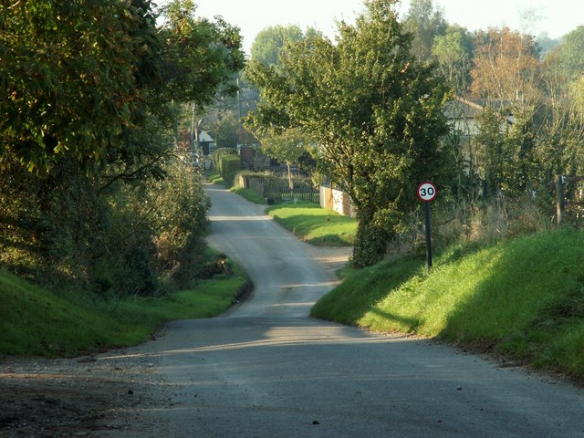
| current | 21:06, 2 March 2017 | | 640 × 480 (96 KB) | C2r (talk | contribs) | '''The hamlet of Mill End, Herts.''' This shows the start of Mill End, travelling north. |
File usage
The following 2 pages use this file: