File:The inner ring road, Wolverhampton - Geograph - 2439256.jpg
Jump to navigation
Jump to search

No higher resolution available.
The_inner_ring_road,_Wolverhampton_-_Geograph_-_2439256.jpg (640 × 428 pixels, file size: 84 KB, MIME type: image/jpeg)
| |||||||||||||||||||||||||
|
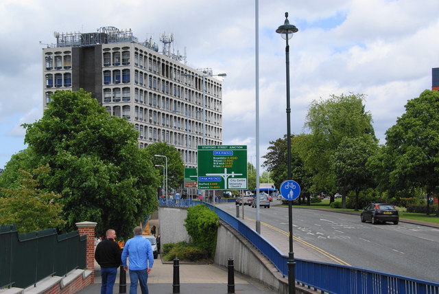
Galleries | A4150 | Stafford Street Junction | Wolverhampton | ||
File history
Click on a date/time to view the file as it appeared at that time.
| Date/Time | Thumbnail | Dimensions | User | Comment | |
|---|---|---|---|---|---|
| current | 22:08, 12 June 2011 | | 640 × 428 (84 KB) | Steven (talk | contribs) | The inner ring road, Wolverhampton |
File usage
The following 3 pages use this file: